START HERE
Why visit Joshua Tree
Joshua Tree National Park is more than a quick boulder photograph between Los Angeles and Palm Springs. Its two desert ecosystems, exposed granite formations, night skies, and widely separated trailheads reward travelers who plan around temperature, daylight, and driving distance. It suits road trippers, photographers, beginner hikers, climbers using qualified guidance, and couples seeking a quiet desert break. Two days cover the main park road and several short walks; three days allow sunrise, sunset, a longer trail, and weather flexibility. This guide explains the best entrance for each route, where to stay outside the park, when campsites need reservations, what a realistic trip costs, and how to avoid unsafe midday hiking. The critical point is self-sufficiency: fuel, water, shade, mobile service, and food are limited inside the park, so prepare before crossing an entrance station.
AT A GLANCE
Joshua Tree quick travel summary
Joshua Tree budgets are planning ranges. Entrance policy, campground category, holiday weekends, fuel prices, guided climbing, and gateway-town accommodation can change the total, so check current NPS information before booking.
WHEN TO GO
Best time to visit
Spring (March–May)
March and early April bring wildflowers in some years, comfortable mornings, and extremely high demand. Parking, campsites, and gateway lodging fill quickly on weekends. By May, heat increasingly limits longer walks. Reserve camping where required, enter early, carry more water than a city outing, and choose trails according to current temperature rather than the season’s reputation.
Summer (June–September)
Summer heat can become life-threatening, with little shade and long distances between services. Lower visitor numbers and cheaper rooms do not compensate for unsafe midday conditions. Thunderstorms may also create lightning or flash-flood risk. Restrict visits to brief dawn or night-sky stops only when official guidance and personal capability support them, and never rely on air-conditioning as a substitute for emergency water.
Fall (October–November)
October begins the main hiking and camping season as daytime temperatures moderate. November generally offers excellent walking weather, colder nights, and busy holiday periods. Prices rise in gateway towns on weekends. Use this season for longer trails, bouldering with appropriate expertise, and sunset photography; bring layers because desert temperatures fall quickly after dark.
Winter (December–February)
Winter provides crisp light, cool hiking conditions, and cold nights that may fall below freezing. Storms can bring strong wind, rain, or occasional snow at elevation. Holiday weeks remain crowded, while ordinary weekdays can feel quiet. Pack warm clothing for stargazing, verify road conditions, and avoid exposed scrambling when rock is wet or wind is severe.
ARRIVING
How to get there
Palm Springs International Airport is the closest practical commercial gateway for many visitors, followed by a rental-car drive to the western or southern approaches. Los Angeles, Ontario, and San Diego airports offer more flight options but create longer drives that vary significantly with traffic. The park has entrances near Joshua Tree, Twentynine Palms, and Cottonwood; choosing the wrong entrance can add unnecessary backtracking. Travelers approaching from Palm Springs or Interstate 10 may use the south entrance, while those staying in Joshua Tree or Twentynine Palms enter from the north. Fuel the vehicle before arrival, download maps, carry water, and do not plan a difficult hike immediately after a late flight. There is no rail station or shuttle that replaces a car for a complete first visit.
MOVING AROUND
Getting around
A private or rental car is the realistic way to move between Joshua Tree’s dispersed trailheads, viewpoints, and entrances. Roads are paved along the main corridor, but some secondary roads require high clearance or four-wheel drive; follow posted restrictions and rental terms. Parking at popular sites fills early during the cool season. There are no fuel stations, restaurants, or dependable mobile signals inside the park, and navigation apps may suggest unsuitable roads. Download the official map, keep the fuel tank comfortably above empty, and build each day in one direction. Cyclists face narrow roads, wind, heat, and long service gaps; casual visitors should not treat cycling as easy local transport.
CHOOSE A BASE
Where to stay
Joshua Tree village — best for first-time atmosphere
Joshua Tree village has cafes, small rentals, galleries, and quick access to the west entrance. It suits couples and first-time visitors who want a recognizable desert-town base. Weekend prices and traffic are high, and services remain modest compared with a resort city. Choose it for sunrise access and evening atmosphere, not for luxury facilities.
Twentynine Palms — best for value and the north entrance
Twentynine Palms offers more conventional motels, groceries, and a useful entrance near quieter eastern park areas. Rates may be better than in Joshua Tree village, and the route works well for a west-to-north drive. The town feels spread out and evenings are quiet. It suits budget travelers, families, and visitors prioritizing park time.
Palm Springs or park camping — best for comfort or immersion
Palm Springs provides pools, restaurants, and airport convenience but requires a longer daily drive. Camping places travelers inside the landscape and supports sunrise or stargazing, yet demands water, cold-night preparation, and strict reservation or registration compliance. Choose Palm Springs for a mixed resort-and-park trip; choose camping only with appropriate equipment and current campground information.
PLAN YOUR DAYS
Best things to do
Hidden Valley and nearby boulder scenery
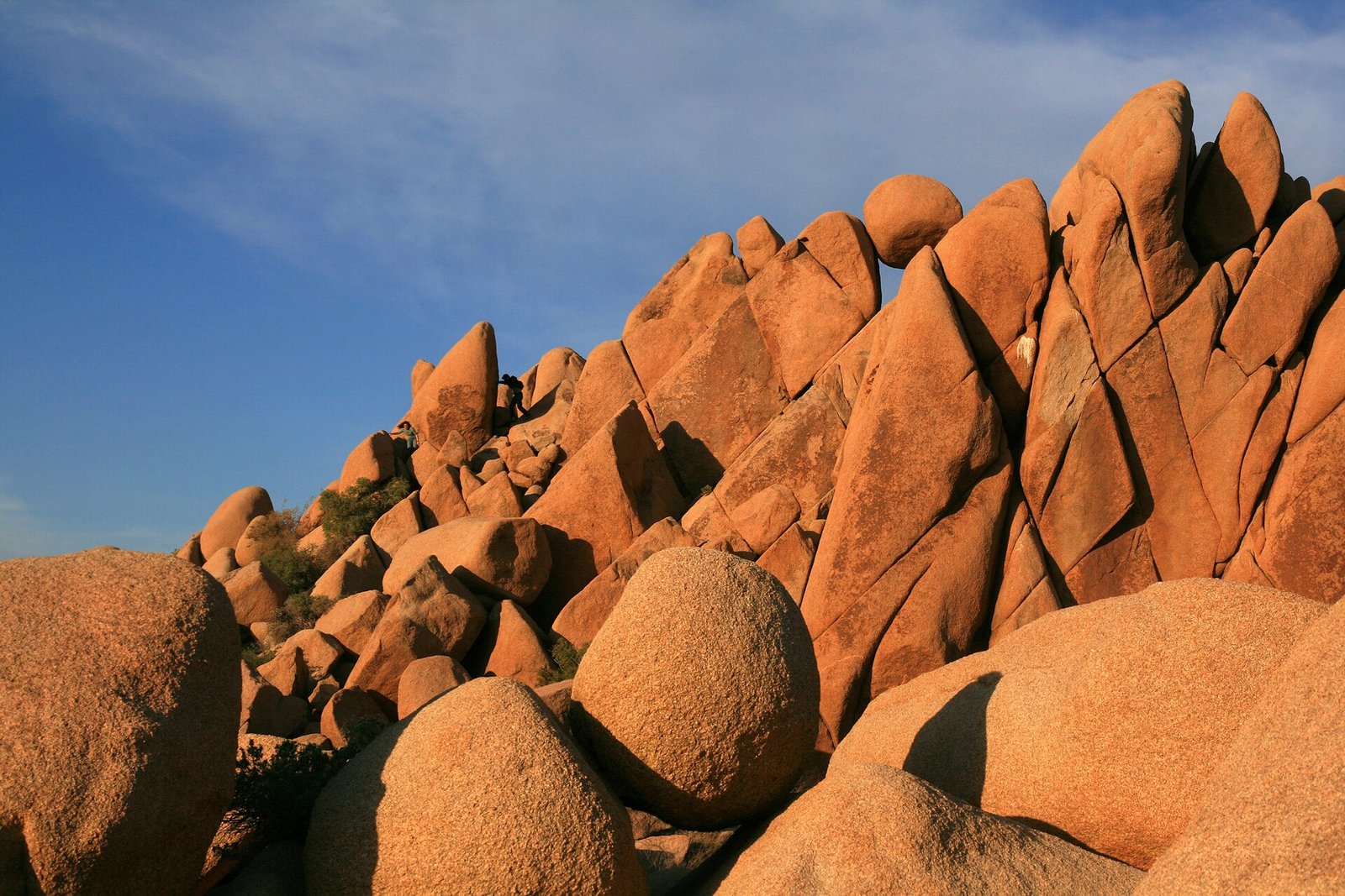
Hidden Valley is a compact introduction to the park’s granite formations and desert plants. Allow one to two hours, arriving early because parking fills quickly. The loop is accessible to many active travelers but still involves uneven surfaces and exposure. No separate reservation is normally required beyond park entry, yet closures can occur. Stay on established routes and do not climb beyond ability simply because boulders appear close to the road.
Keys View
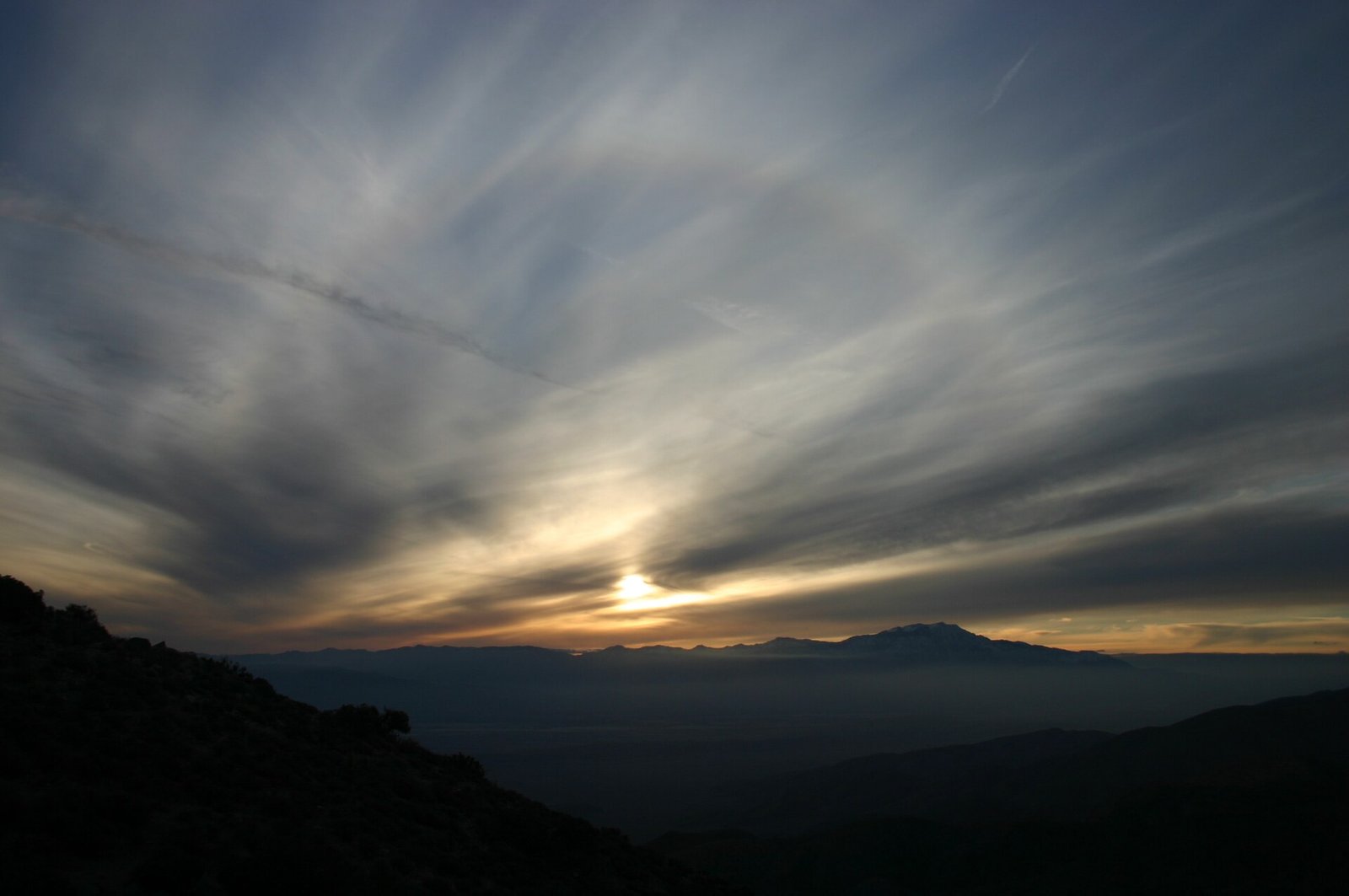
Keys View provides a broad panorama across the Coachella Valley on clear days. It requires less walking than major trails and works well near sunset, but wind and parking congestion can be intense. Allow 45–75 minutes and carry a warm layer even after a hot day. Smoke, haze, weather, or road work may reduce visibility. The viewpoint suits photographers and travelers needing a lower-effort scenic stop.
Barker Dam and Wall Street Mill area
Barker Dam combines cultural history, desert ecology, and a moderate loop, while nearby Wall Street Mill adds mining-era context. Allow two to three hours if visiting both. Begin in the morning, read current water and wildlife notices, and never approach animals for a photograph. Rock art and historic structures are fragile; touching, climbing on, or marking them causes permanent damage.
Cholla Cactus Garden
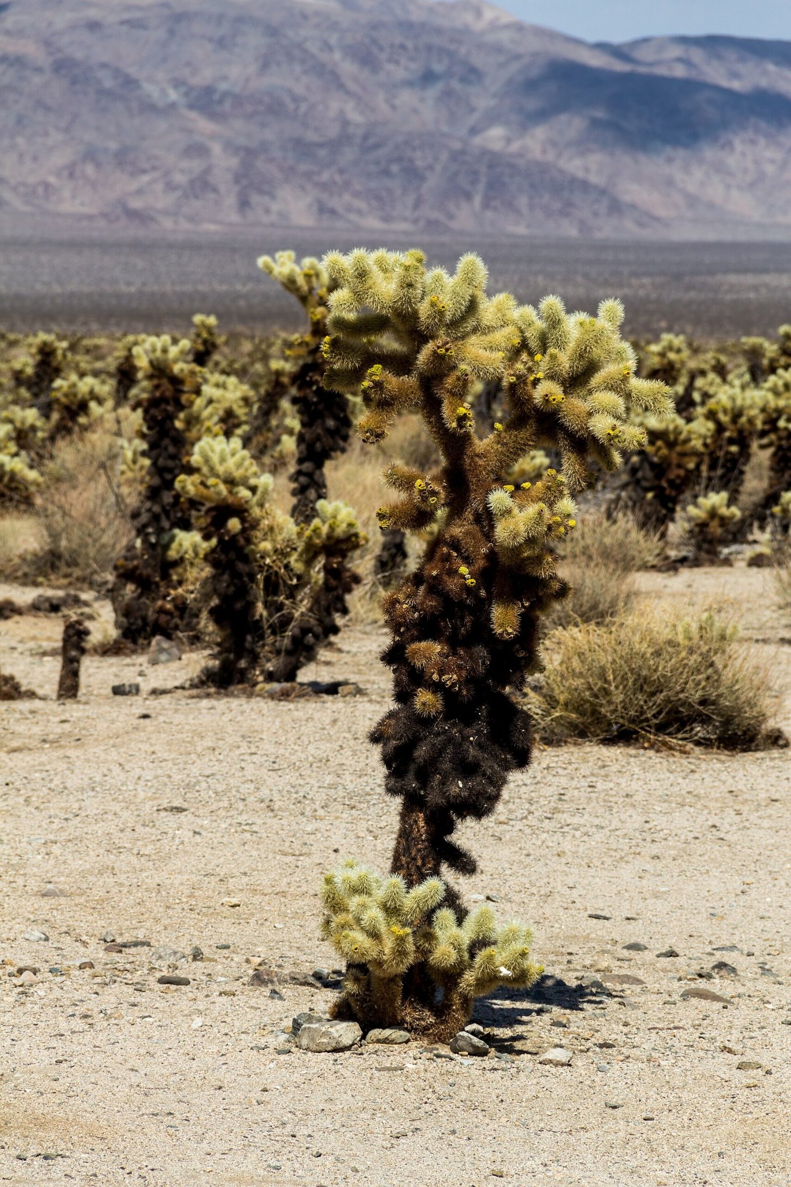
The Cholla Cactus Garden is a short interpretive stop in the park’s lower, warmer eastern landscape. Visit in soft morning or late-afternoon light and allow 30–60 minutes. Tiny cactus segments detach easily and can pierce ordinary footwear, so remain on the path and supervise children closely. Combine it with the south entrance or Cottonwood rather than driving across the park twice solely for this stop.
Night-sky viewing
Joshua Tree’s darkness makes stargazing a major reason to stay overnight. Choose a designated pullout or campground, arrive before full darkness, and avoid stopping in travel lanes. Allow one to three hours and bring warm clothing, red light, water, and a downloaded map. Moon phase, clouds, wind, and seasonal closures affect the experience. Solo travelers should use established areas and tell someone their plan.
A PRACTICAL ROUTE
Suggested itinerary
West entrance and central boulders
Enter early through the west side, walk Hidden Valley, and continue to nearby boulder areas without repeatedly moving the car. Take a midday break in shade or outside the park, then return to Keys View for late light if conditions are clear.
Barker Dam, north side, and stargazing
Start at Barker Dam before the parking area fills, add Wall Street Mill or a similarly moderate route, and exit through the north entrance for food and rest. Re-enter before dark only with a clear stargazing location and warm layers.
Eastern desert and Cottonwood
Drive east through the park, stopping at the Cholla Cactus Garden and selected roadside viewpoints. Continue toward Cottonwood and Interstate 10, creating a one-way route toward Palm Springs or the next road-trip stop instead of backtracking.
REALISTIC BUDGET
Estimated travel costs
Joshua Tree totals depend on the entrance product, campground or room, vehicle costs, and any qualified guide. Verify current NPS fees and cancellation terms.
TRAVEL WELL
Practical travel tips
- Carry all drinking water needed for the day plus an emergency reserve; natural-looking water sources are not dependable visitor supplies.
- Download the official park map and current conditions before entry because mobile service is unreliable.
- Do not follow navigation apps onto unpaved shortcuts unless the road, vehicle, weather, and rental agreement are appropriate.
- Reserve campsites where required and never assume an unoccupied-looking site is available.
- Keep food secured and leave rocks, plants, historic objects, and wildlife exactly where they are.
- Avoid exposed hikes during heat, strong wind, thunderstorms, or wet-rock conditions; turning back early is sound desert judgment.
- Solo women travelers should use established trailheads, share the route and return time, and avoid isolated night stops without a clear safety plan.
- Accessible viewpoints and facilities exist, but surfaces and temporary closures vary; consult the NPS accessibility information before choosing routes.
COMMON QUESTIONS
Joshua Tree travel FAQ
How many days do you need in Joshua Tree?
Two days cover the western and central highlights at a comfortable pace. Three days allow the eastern desert, stargazing, a longer walk, and flexibility for wind or heat.
What is the best month to visit Joshua Tree?
November, February, and March generally offer good hiking temperatures, although weekends can be crowded. Winter nights are cold and spring demand rises sharply.
Do you need a car for Joshua Tree National Park?
Yes, for a practical first visit. Trailheads and viewpoints are widely separated, and there is no park-wide public transit that replaces a private vehicle.
Is Joshua Tree safe in summer?
Extreme heat makes summer hiking dangerous. A short dawn or night visit may be possible with careful preparation, but longer routes should be avoided when official conditions indicate heat risk.
Should you stay inside or outside the park?
Camping inside supports sunrise and stargazing but requires equipment and reservations. Joshua Tree village and Twentynine Palms provide food, showers, and easier logistics.
Is Joshua Tree suitable for solo female travelers?
It can be with conservative planning: use established trails, share an itinerary, carry extra water, download maps, and choose populated night-sky areas rather than isolated roadside stops.
KEEP EXPLORING
Related The Wander Muse guides
CHECK BEFORE DEPARTURE
Sources and official resources
Schedules, fares, closures, access rules, and reservations affecting Joshua Tree can change. Recheck the official resources below shortly before departure.