START HERE
Why visit Sedona
Sedona’s red-rock formations are immediately dramatic, but the best trip depends on managing trail access, desert weather, and traffic rather than racing between famous photographs. The destination suits hikers, photographers, wellness travelers, couples, solo visitors, and road trippers linking Arizona and Utah. Three days allow two substantial trail mornings and a scenic afternoon; four or five create weather flexibility and room for quieter walks, art, or nearby heritage sites. This guide explains seasonal trade-offs, the drive from Phoenix, the free trailhead shuttle, parking passes, accommodation areas, hike selection, realistic costs, and an itinerary that avoids crossing the congested center repeatedly. The main planning decision is the group’s hiking ability: routes vary sharply in exposure, scrambling, shade, and navigation, so choose trails by current conditions and skill rather than social-media popularity.
AT A GLANCE
Sedona quick travel summary
Sedona budgets below are planning ranges, not quotes. Trail-pass rules, shuttle operations, holiday weekends, and resort demand can shift the total, so confirm current details before booking.
WHEN TO GO
Best time to visit
Spring (March–May)
Spring brings comfortable hiking temperatures, flowering desert plants, and some of the year’s largest crowds. Accommodation is expensive and trailhead parking fills very early. Wind, rain, and occasional late snow can still affect exposed routes. Use the shuttle where available, begin at dawn or later in the afternoon, and carry layers rather than assuming desert means constant heat.
Summer (June–August)
Summer is hot, with dangerous midday conditions and seasonal monsoon storms. Lightning, flash flooding, and sudden temperature changes can affect canyons and exposed slickrock. Rooms may cost less than spring, but the physical limitations are serious. Hike only early, carry more water than expected, monitor official alerts, and leave narrow drainage areas when storms threaten.
Fall (September–November)
September remains warm and may retain monsoon risk, while October and early November often provide excellent hiking weather. Crowds and prices stay high during popular weekends and fall-color periods. West Fork and shaded canyons are especially sought after. Reserve lodging, use shuttles, and expect colder mornings at elevation.
Winter (December–February)
Winter offers lower demand, crisp light, and occasional snow on red rock. Trails can be icy or muddy, shaded areas remain cold, and short daylight limits long routes. Accommodation may be better value outside holidays. Carry traction when conditions warrant, avoid damaging muddy trails, and use scenic drives, galleries, and state parks as flexible alternatives.
ARRIVING
How to get there
Phoenix Sky Harbor International Airport is the main gateway for most visitors, followed by a drive of roughly two hours in normal conditions. Flagstaff Pulliam Airport is much closer but has fewer routes and can be affected by winter weather. Shuttle companies may connect Phoenix or Flagstaff with Sedona, but local freedom remains limited without a car. Drivers should check Interstate 17 conditions, fuel before remote detours, and avoid scheduling a major sunset hike immediately after a flight. Sedona itself sits along state routes 89A and 179, where weekend congestion can add substantial time. Rental-car contracts should permit unpaved access only where planned; many trail roads are unsuitable for ordinary vehicles. Arrive in daylight when possible because wildlife, curves, and unfamiliar entrances make night driving harder.
MOVING AROUND
Getting around
A rental car is useful for accommodation, groceries, and trail areas not served by transit, but it should not be treated as guaranteed trailhead access. The free Sedona Shuttle connects park-and-ride lots with selected popular trailheads on published operating days; routes and closures change, so check the official map before every hike. Shuttle riders do not need a trailhead parking pass for the ride itself, while some other federal recreation sites require a Red Rock Pass or accepted federal pass. Uptown is walkable but busy, and cycling on narrow roads requires confidence. Taxis and ride apps are limited compared with major cities. Do not park on vegetation, block residential access, or stop in unsafe roadside areas when official lots are full.
CHOOSE A BASE
Where to stay
Uptown Sedona — best for first-time convenience
Uptown puts restaurants, shops, tour pickups, and central views close together. It suits short stays and travelers who want evenings without driving. Traffic, tourist crowds, and higher prices are the disadvantages, and most major trailheads still require transport. Choose a room away from the busiest road if quiet matters.
West Sedona — best for value and practical services
West Sedona has grocery stores, casual restaurants, trail access, and a broader range of lodging. It suits hikers, families, and longer stays. The setting is more spread out, so a car or careful shuttle planning is useful. Traffic through the central corridor can delay trips to Oak Creek and the village.
Village of Oak Creek — best for quieter red-rock access
South of central Sedona, the village is convenient for Bell Rock, Courthouse Butte, golf, and quieter mornings. It works for couples and road trippers. Reaching Uptown, West Fork, or northern trailheads takes longer, especially in traffic, and evening dining choices are more limited.
PLAN YOUR DAYS
Best things to do
Cathedral Rock area
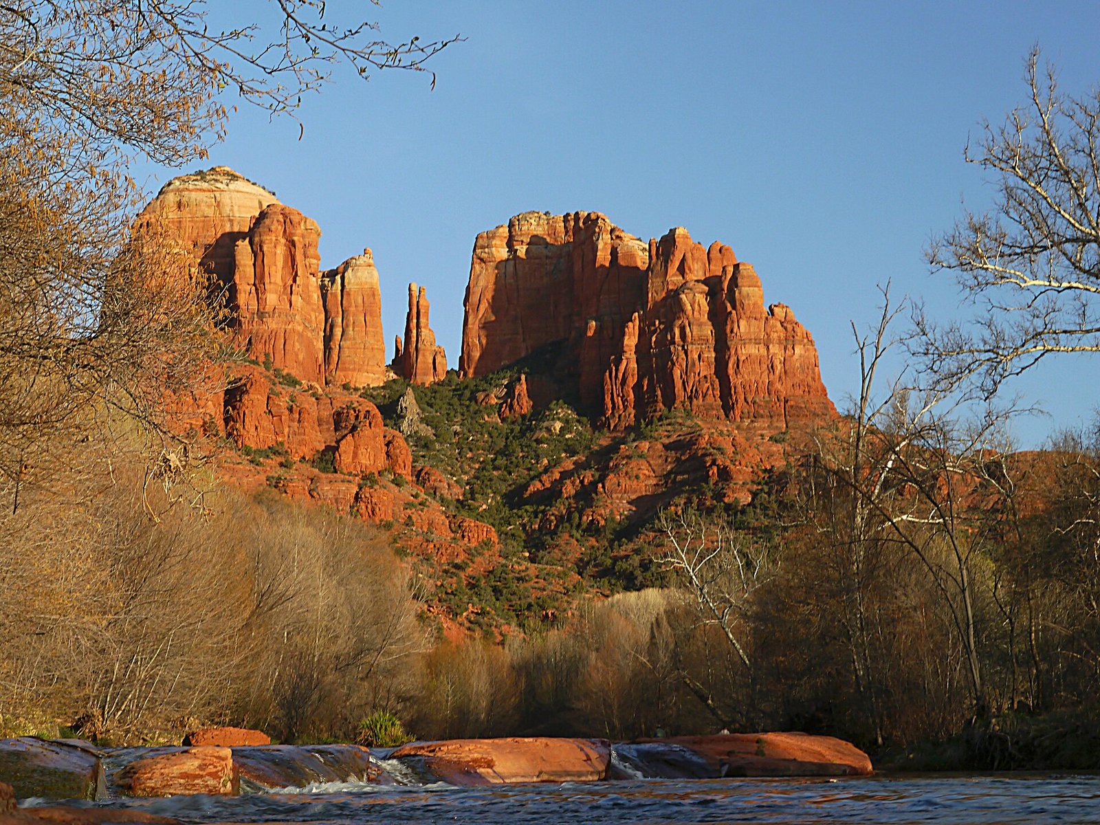
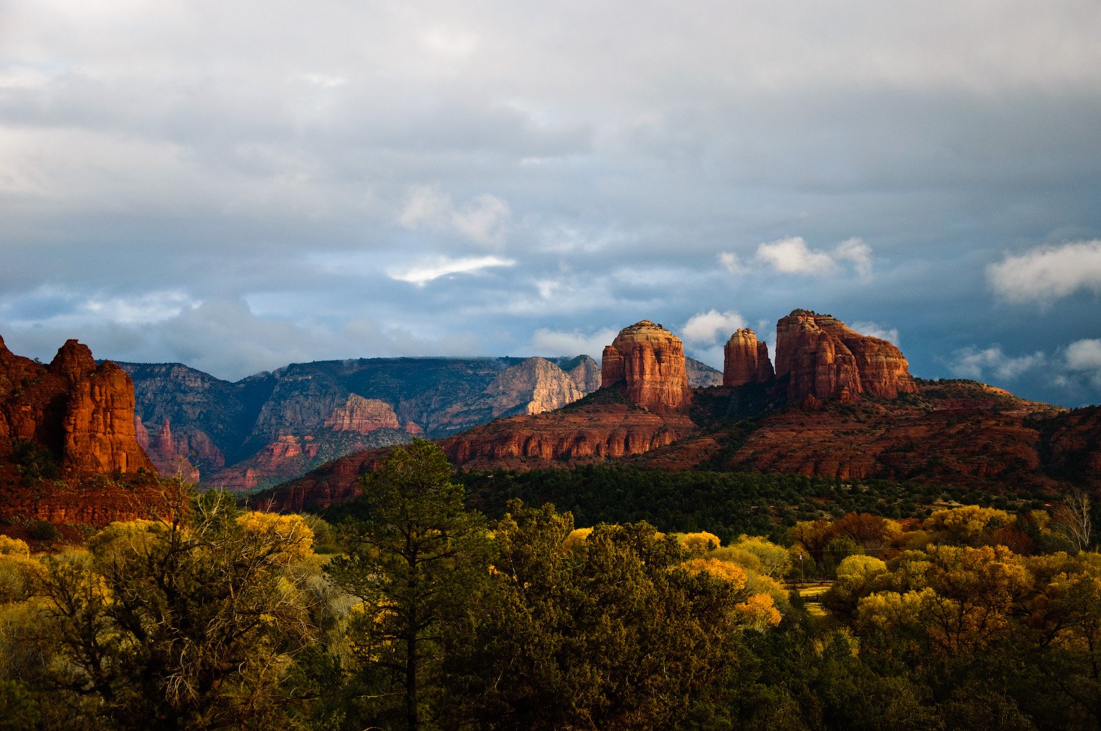
Cathedral Rock is visually exceptional, but the commonly photographed route involves steep slickrock and hands-on scrambling. Allow two to three hours only if conditions and ability are suitable. Shuttle service may control access on operating days. Start early, avoid wet rock and thunderstorms, and turn around when exposure exceeds comfort. Easier nearby viewpoints provide rewarding alternatives without the summit route.
Devil’s Bridge
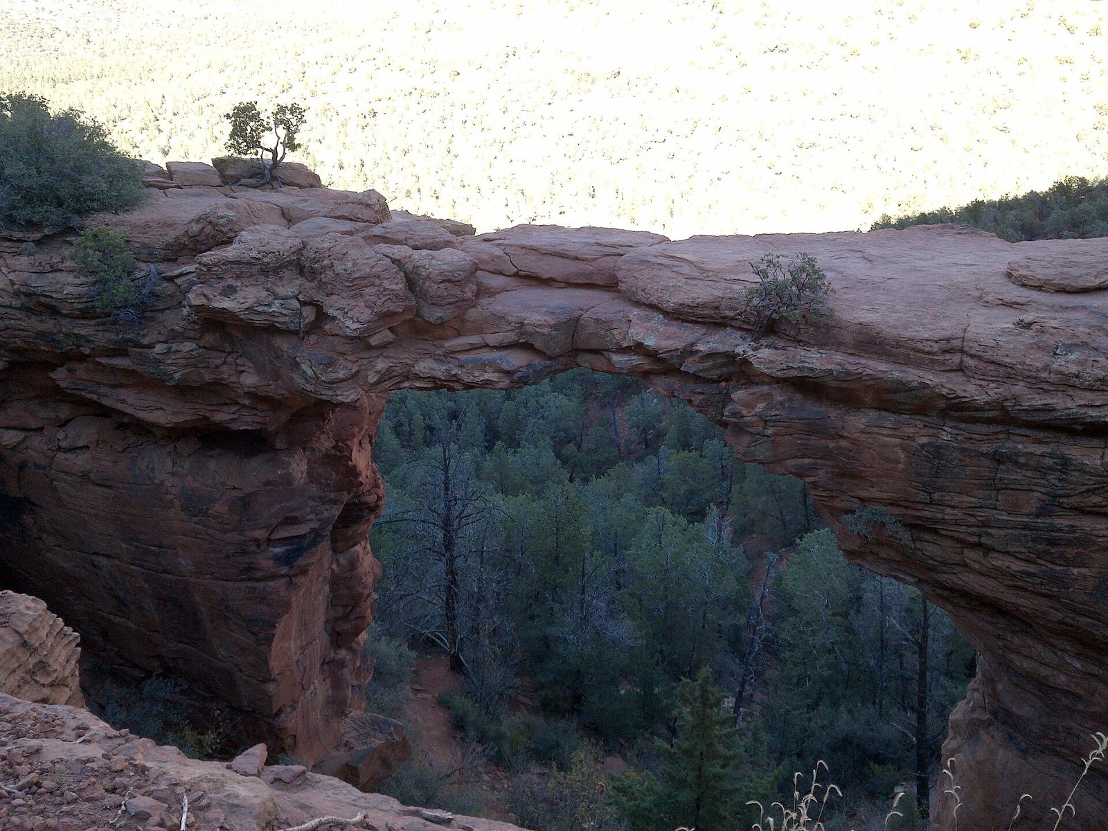
The natural sandstone arch is reached through several trail approaches with different parking and shuttle logistics. Allow three to five hours depending on the starting point. The final area can be crowded and exposed, with a long photo queue. Use the official shuttle or legal parking, carry water, and do not step beyond safe boundaries merely to recreate a photograph.
Bell Rock and Courthouse Butte
These formations offer flexible loops and viewpoints suitable for a range of abilities. A short visit takes 60–90 minutes, while the longer circuit needs several hours. Morning and late afternoon provide better temperatures and light. Parking may require a pass and fills quickly. The area is a strong first hike because the route can be shortened without losing the essential landscape.
Oak Creek Canyon and West Fork
The canyon adds water, shade, and seasonal color north of Sedona. West Fork is popular and its parking area can fill at opening; fees and access rules differ from standard trailheads. Allow half a day and prepare for creek crossings. Avoid the canyon during flash-flood risk, and use official pullouts rather than stopping on narrow 89A.
Red Rock State Park or cultural time
Red Rock State Park provides trails, river habitat, interpretation, and a calmer pace, while Sedona’s galleries and heritage sites create weather alternatives. Allow two to four hours. State-park admission is separate from federal passes, and pets may be restricted. This is valuable for families, non-hikers, and anyone needing a lower-impact day.
A PRACTICAL ROUTE
Suggested itinerary
Bell Rock orientation
Arrive in daylight, settle into the chosen area, and walk a flexible Bell Rock or Courthouse Vista route. Use sunset only if the return path is familiar and legal parking is secured.
Signature trail by shuttle
Choose Cathedral Rock or Devil’s Bridge according to ability, weather, and shuttle operation—not both. Rest during midday and use a nearby gallery or café later.
Oak Creek Canyon
Start early for West Fork or choose a shorter canyon viewpoint. Return before evening traffic and use the final light at an accessible overlook.
State park and West Sedona
Visit Red Rock State Park, explore a quieter West Sedona trail, and keep time for art or wellness without adding another technical hike.
Flexible regional day
Use this day for weather recovery, a guided cultural experience, or a carefully planned Verde Valley stop. Avoid a long Grand Canyon return trip unless the overall route supports it.
REALISTIC BUDGET
Estimated travel costs
USD equivalents for Sedona are rounded planning comparisons where shown. For Sedona, check local tax, gratuity, accommodation fees, and cancellation terms before payment.
TRAVEL WELL
Practical travel tips
- Use the free trailhead shuttle whenever it serves the chosen route. It reduces illegal parking, traffic, and the risk of arriving at a full lot.
- A Red Rock Pass is required only at specified sites; state parks and concession areas may charge separate fees. Check the exact trailhead.
- Download official maps before leaving town. Mobile signal weakens quickly in canyons and should never replace navigation skills.
- Carry substantial water, electrolytes, sun protection, and a layer. Desert elevation creates both heat and surprisingly cold mornings.
- Monsoon storms can produce lightning and flash floods far from visible rain. Leave exposed ridges and drainages when clouds build.
- Do not stack rocks, carve sandstone, leave crystals, or create unofficial trails. Pack out every item and protect biological soil crust.
- Choose hikes by exposure and footing, not popularity. A short accessible loop can be safer and more enjoyable than an overcrowded scramble.
- Solo female hikers should share a route and return time, start with well-used trails, avoid isolated parking after dark, and carry emergency essentials.
COMMON QUESTIONS
Sedona travel FAQ
How many days do you need in Sedona?
Three days cover two trail mornings and a scenic canyon or state-park day. Four or five days provide weather flexibility and a healthier pace for hiking.
Do you need a car in Sedona?
A car is useful for lodging and areas outside shuttle routes, but popular trailheads may be easier by the free Sedona Shuttle. Driving does not guarantee parking.
What is the best month to visit Sedona?
April, May, October, and early November usually offer comfortable conditions. These are also busy and expensive, so book lodging and plan trail transport early.
Do you need a permit to hike in Sedona?
Most day hikes do not require a hiking permit, but selected parking and recreation sites require a Red Rock Pass, federal pass, state-park fee, or concession fee.
Is Sedona too hot in summer?
Midday hiking can be dangerous in summer. Early starts, conservative routes, extensive water, storm monitoring, and indoor midday breaks are essential.
Is Sedona safe for solo female travelers?
Many women visit and hike independently. Select routes within ability, share plans, carry navigation and water, and avoid isolated trailheads after activity has ended.
KEEP EXPLORING
Related The Wander Muse guides
CHECK BEFORE DEPARTURE
Sources and official resources
Schedules, fares, closures, and timed-entry systems affecting Sedona can change. Recheck the official resources below shortly before departure.