START HERE
Why visit Olympic National Park
Olympic National Park protects alpine ridges, temperate rainforest, old-growth valleys, lakes, and a wild Pacific coast on one vast peninsula. That diversity makes it ideal for road-trippers, hikers, photographers, families, and wildlife-minded travelers, but the park has no central road connecting its major areas. Distances around the peninsula are substantial, cell service is unreliable, and weather can differ dramatically between Hurricane Ridge, the Hoh, and the beaches on the same day. Three days reveal only a focused portion; five days support a practical loop, while a week allows slower hikes and weather flexibility. A car is essential for most itineraries, and summer lodging, selected campgrounds, and wilderness trips require early planning. This guide compares the best bases, explains seasonal access and current reservation logic, estimates daily costs, and lays out a five-day route that limits backtracking. Always check National Park Service road, trail, campground, tide, and weather information shortly before each outing.
AT A GLANCE
Olympic National Park quick travel summary
Park entry is currently US$30 per private vehicle for seven days. Accommodation, rental cars, ferries, fuel, and guided activities can change the total substantially.
WHEN TO GO
Best time to visit
Spring (March–May)
Spring brings heavy lowland rain, rushing waterfalls, emerging greenery, and snow at elevation. Coastal and rainforest routes may be accessible while Hurricane Ridge and high trails remain winterlike or closed. Crowds and lodging prices are below summer peaks, but services are limited and road damage can disrupt plans. Choose lower valleys, beaches around safe tides, and Lake Crescent, while keeping mountain expectations flexible.
Summer (June–August)
Summer offers the driest pattern, long daylight, and the broadest access, though high-country snow can linger into July. This is peak season for rooms, campgrounds, parking, and trailheads. Reserve lodging and applicable campsites early, enter the Hoh and Hurricane Ridge areas early, and carry layers despite sunny forecasts. Smoke, heat, or fire restrictions can affect plans. July and August suit a full loop but demand the most preparation.
Autumn (September–November)
Early September can retain summer access with slightly softer crowds, while storms, rain, shorter days, and seasonal closures become increasingly likely through October and November. Accommodation prices may ease away from weekends. Forest color, mushrooms, and dramatic surf reward prepared visitors. Check roads daily, avoid beach headlands around rising tides, and choose shorter routes. This season suits flexible road-trippers more than fixed high-country ambitions.
Winter (December–February)
Winter is wet and stormy at low elevations and snowy in the mountains. Some roads, campgrounds, visitor facilities, and Hurricane Ridge access operate on restricted or weather-dependent schedules. Coastal storms and rainforest atmosphere can be memorable, but downed trees, flooding, ice, and power outages are real constraints. Base near year-round services, carry emergency supplies, and build the trip around safe lower-elevation outings rather than a complete peninsula loop.
ARRIVING
How to get there
Seattle–Tacoma International Airport is the most common flight gateway. Drivers can reach the peninsula by traveling south around Puget Sound or by using a Washington State Ferries route from the Seattle side, depending on the first base and current sailing schedule. Ferries do not remove the need for a car, and vehicle queues, seasonal timetables, weather, and fare rules require a buffer. Port Angeles is the practical northern service center for the Olympic National Park Visitor Center, Hurricane Ridge, and Lake Crescent. Olympia provides a southern approach toward Staircase or the coast, while Aberdeen serves the southwest corridor. There is no rail line through the park. Regional buses connect some peninsula communities, but they do not efficiently reach the major park road ends as one sightseeing circuit. Rent the correct vehicle for luggage and road conditions, not for off-road use, and download the park map before leaving dependable coverage.
MOVING AROUND
Getting around
Olympic’s primary sights sit at the ends of separate spur roads branching from a long peninsula loop. Driving between Hurricane Ridge, the Hoh Rain Forest, and Kalaloch consumes hours, so changing bases is more efficient than returning to Port Angeles every night. Roads are paved on main approaches, but some spur routes are gravel, narrow, or unsuitable for larger vehicles. Check the NPS current conditions page before departure, fuel in gateway towns, and never assume a closed road has a nearby detour. Parking fills early at popular summer trailheads. The park does not require a general timed-entry reservation, but selected campgrounds, wilderness permits, and lodging do; individual areas may also use temporary traffic controls. Public transport cannot replace a car for a first-time loop. Cyclists face narrow shoulders and long distances. Offline navigation, paper maps, and a daily driving buffer are essential.
CHOOSE A BASE
Where to stay
Port Angeles — best for first-time visitors and the northern park
Port Angeles offers the broadest mix of rooms, groceries, restaurants, fuel, and visitor services near Hurricane Ridge and Lake Crescent. It is the easiest first or final base for a Seattle loop. The Hoh and southern coast are too far for comfortable repeated day trips, and summer rates rise sharply. Choose two nights here, then move west rather than commuting across the peninsula.
Forks or the west-side lodges — best for rainforest and wild beaches
Forks is a practical service town for the Hoh, Rialto, La Push-area access, and the western peninsula. Park and concession lodges provide more atmosphere but limited inventory and dining. Weather is wet, evening choices are modest, and drive times still matter. This base suits photographers, hikers, and travelers giving the rainforest and coast at least two days.
Lake Quinault or Kalaloch — best for southern forest and coastal scenery
Lake Quinault positions visitors for rainforest walks, scenic roads, and the southwest side, while Kalaloch places the Pacific shore close at hand. Both help complete a clockwise or counterclockwise loop without backtracking. Rooms and campsites book early, food options are sparse, and coastal weather can be rough. Select this base for quiet nature and an unhurried final section, carrying supplies from a larger town.
PLAN YOUR DAYS
Best things to do
Use a clear-weather window for Hurricane Ridge
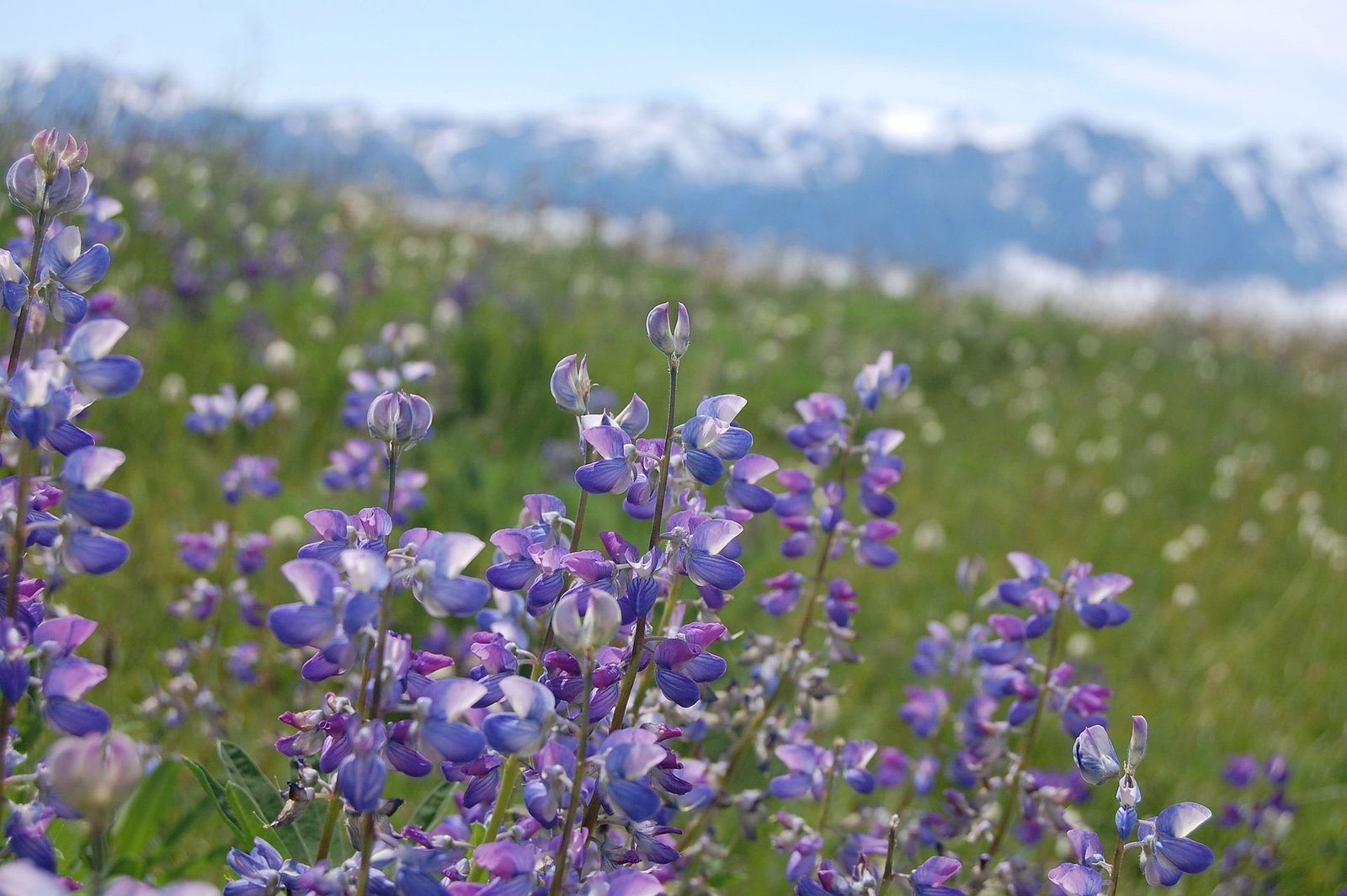
Hurricane Ridge provides the park’s most accessible high-country scenery, but road access, parking, snow, wind, wildfire impacts, and facility status can change. Allow half a day from Port Angeles, including the winding drive and a trail matched to conditions. Arrive early in summer and check the NPS alert page before leaving town. The park entrance pass covers the road, while winter access rules can differ. Do not force this outing in poor visibility when a lower-elevation alternative will be safer.
Walk the Hoh Rain Forest beyond the parking lot
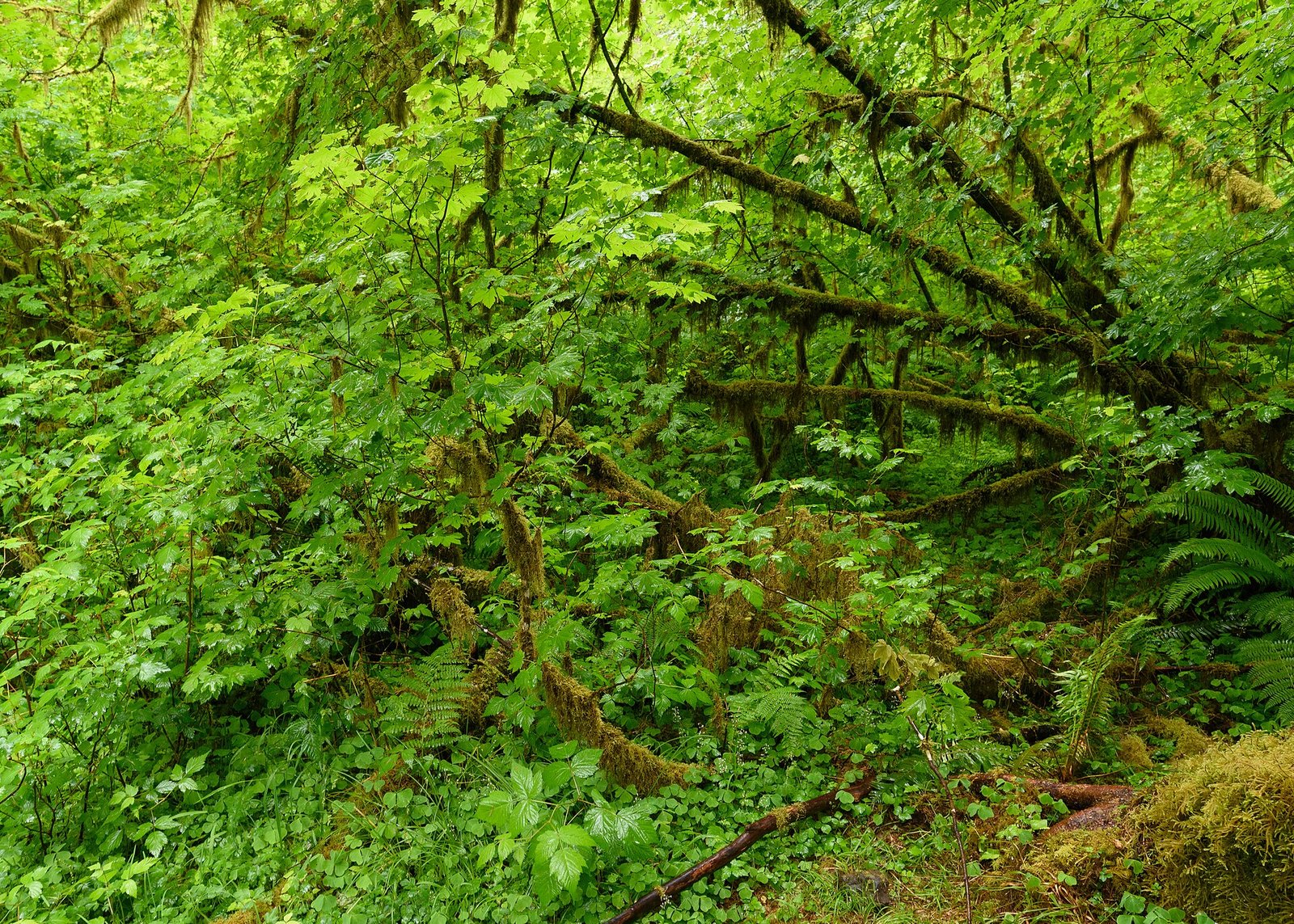
The Hoh’s moss-draped forest is iconic, with short interpretive loops and the longer Hoh River Trail sharing one busy trailhead. Allow three to five hours for the drive, visitor-area loops, and a modest out-and-back. Summer vehicle lines can become long, so arrive early and carry food and water. No separate attraction reservation is generally required, but campground and wilderness rules are distinct. Stay on trail and keep wildlife at a distance.
Link Lake Crescent with Sol Duc
Lake Crescent offers shoreline views and access to walks such as Marymere Falls, while the Sol Duc road leads into another old-growth valley and a popular waterfall trail. Combining them creates an efficient northwestern day if current roads are open. Allow six to eight hours with stops. Trailhead parking fills, surfaces can be wet, and the hot springs resort operates separately with its own prices and schedules. Families can choose shorter walks while strong hikers extend the day.
Plan Pacific beaches around tides, not just sunset
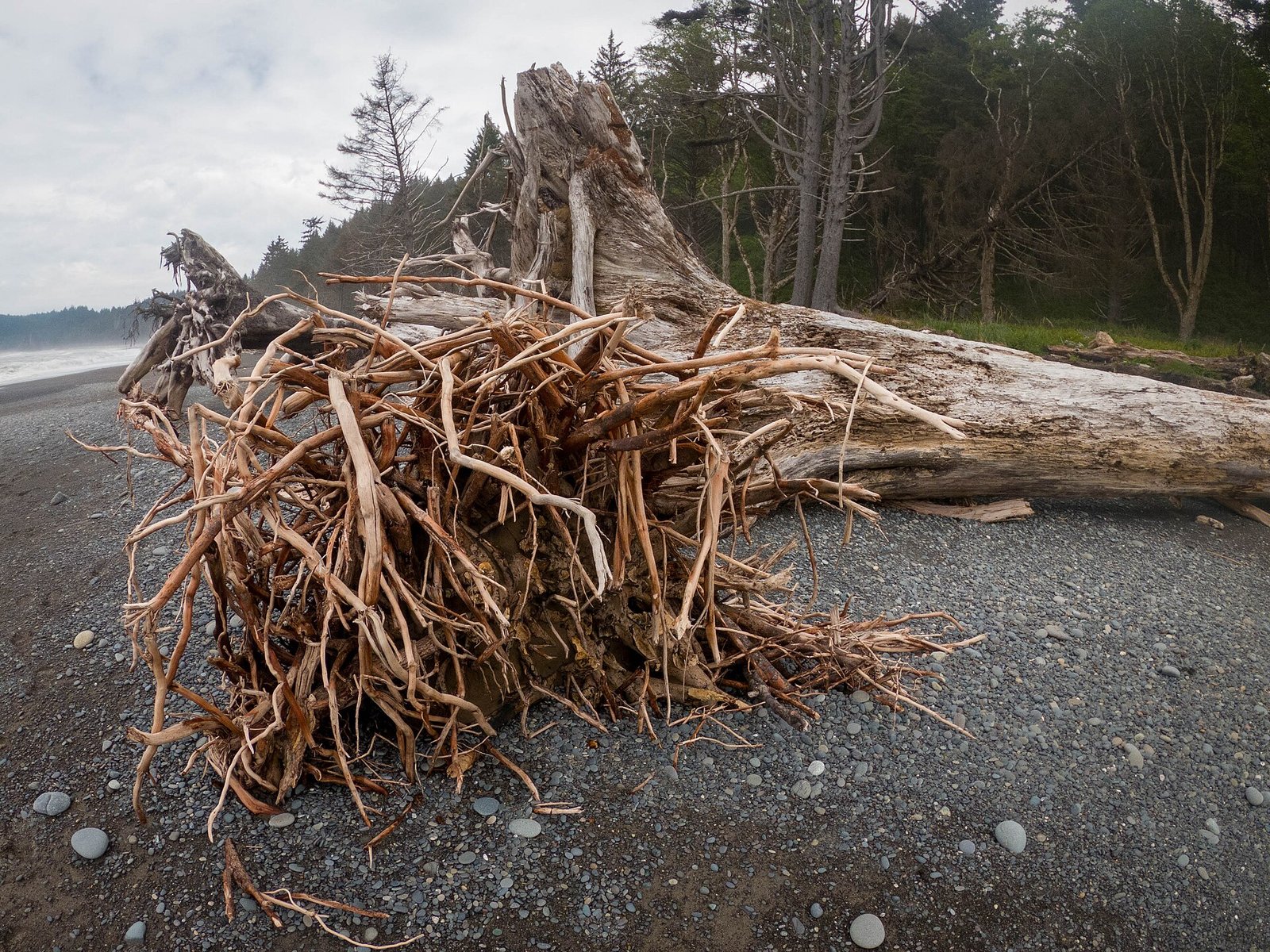
Rialto, Second Beach-area routes, Ruby Beach, and Kalaloch reveal sea stacks, driftwood, tide pools, and powerful surf. Allow two to four hours at a chosen beach and consult an official tide table before passing headlands or exploring tide pools. Rocks and logs become hazardous in waves, water is cold, and some routes cross tribal land or require specific access rules. Arrive in daylight, keep children away from moving logs, and never turn your back on the ocean.
Slow down in the Quinault Rain Forest
The Quinault area combines short forest paths, lake views, historic lodging, and road access around a wetter southern ecosystem. Allow half a day or an overnight, checking road condition before attempting any loop. Some lands and services are outside National Park Service jurisdiction, so rules and fees may differ. It is a strong final stop for a peninsula circuit and a useful alternative when the Hoh queue or northern weather makes the original plan inefficient.
A PRACTICAL ROUTE
Suggested itinerary
Seattle to Port Angeles and Lake Crescent
Collect the car and choose either a ferry route or the drive around Puget Sound after checking current travel times. Stop at the Olympic National Park Visitor Center, then continue to Lake Crescent for a short shoreline or forest walk. Sleep in Port Angeles and prepare food and offline maps.
Hurricane Ridge and the northern foothills
Check visibility, road status, and any traffic controls before leaving. Use the morning for Hurricane Ridge, selecting a trail suitable for snow and wind. Return to Port Angeles for a lower-elevation walk or town services. If the ridge is closed, substitute Elwha-area or Lake Crescent options rather than waiting all day.
Sol Duc, Lake Crescent, and transfer to Forks
Leave Port Angeles and group Marymere Falls or a lakeside stop with the Sol Duc valley. Keep the hike modest enough to reach Forks before dark. Refuel and buy groceries in town, then check the next morning’s Hoh road and weather status.
Hoh Rain Forest and one western beach
Reach the Hoh entrance early and complete the interpretive loops plus a realistic river-trail out-and-back. After a break, choose Rialto or another legally accessible west-side beach based on tide and road information. Do not race between multiple beaches at sunset. Stay again near Forks or continue south only with ample daylight.
Ruby Beach, Kalaloch, and Lake Quinault
Travel south with one tide-aware coastal stop, then continue to the Quinault area for a forest walk and lake views. Stay locally or complete the drive toward Olympia if rested. A sixth day makes the return to Seattle more comfortable and protects against weather-related changes.
REALISTIC BUDGET
Estimated travel costs
A camping road trip can remain near US$95–170 per person daily when a vehicle is shared; summer lodges, last-minute rental cars, restaurant meals, and ferry travel can push a mid-range trip above US$400. Confirm all park, campground, and operator fees.
TRAVEL WELL
Practical travel tips
- Check NPS alerts, road status, trail conditions, weather, and tide information every morning; the peninsula’s zones behave differently.
- Download maps and reservations before entering the park because cell coverage is unreliable or absent on long stretches.
- Keep a generous fuel margin and buy food in Port Angeles, Forks, or another service town before remote lodge and beach days.
- Never approach wildlife, feed animals, or leave food unsecured; follow current bear-storage and wilderness requirements.
- On beaches, watch tides and sneaker waves, stay off moving driftwood, and do not cross a headland without a safe return window.
- Bring waterproof layers and dry footwear even in summer, plus sun protection and warmer clothing for Hurricane Ridge.
- Reserve eligible summer campgrounds and lodging early; a park entrance pass does not include a campsite or wilderness permit.
- Travelers with limited mobility should use current NPS accessibility details because weather, washouts, and facilities alter specific routes.
COMMON QUESTIONS
Olympic National Park travel FAQ
How many days do you need in Olympic National Park?
Five days create a practical first loop through the mountains, Lake Crescent, rainforest, and coast. Three days require choosing one side; seven days allow longer hikes and weather flexibility.
Do you need a reservation for Olympic National Park?
There is no general timed-entry reservation for the whole park. However, selected campgrounds, lodging, wilderness trips, and some activities require reservations or permits, so check each component separately.
Do you need a car in Olympic National Park?
Yes for almost every first-time itinerary. Major areas sit far apart at separate road ends, and regional transit does not operate as a complete sightseeing loop.
What is the best month to visit Olympic National Park?
July through September generally provides the broadest road and high-country access. September can be calmer, but smoke, storms, or early closures remain possible in any year.
Can you visit the Hoh Rain Forest and Hurricane Ridge in one day?
The drive and parking make that an exhausting plan. Give each area its own day and stay in more than one gateway to reduce backtracking.
Is Olympic National Park safe for solo travelers?
It can be with conservative planning. Share the route, carry offline navigation and emergency supplies, respect tides and wildlife, and avoid hiking beyond your ability where communication is unavailable.
KEEP EXPLORING
Related The Wander Muse guides
CHECK BEFORE DEPARTURE
Sources and official resources
Schedules, fares, closures, access rules, and reservations affecting Olympic National Park can change. Recheck the official resources below shortly before departure.