START HERE
Why visit Missoula
Missoula is a walkable river city framed by forested mountains, with independent food, university culture, local trails, and western Montana road trips within reach. It suits river paths, hiking, breweries, markets, road trips, couples, and outdoor-minded families and works best when Clark Fork Riverfront Trail and Mount Sentinel M Trail stay on separate compact days. A first visit works best when Clark Fork Riverfront Trail, Mount Sentinel M Trail, and Rattlesnake National Recreation Area are arranged around realistic transport and weather windows. Downtown is best for a car-light first stay, the University District suits trails and campus access, and Southgate provides practical rooms and parking. Missoula planning connects Missoula Montana Airport (MSO), walking, Downtown, and Clark Fork Riverfront Trail with the six-row US dollar (USD) budget and 3–5 days route below. Before booking Missoula, use the linked authorities to verify opening days, walking, and any timed entry for Clark Fork Riverfront Trail.
AT A GLANCE
Missoula quick travel summary
Missoula prices are planning ranges rather than quotes. Check the cancellation rule and full inclusions before booking Mount Sentinel M Trail; small surcharges can materially change the total.
WHEN TO GO
Best time to visit
Spring (March–May)
Across Missoula, expect mild days, changeable rain, and lengthening daylight; conditions near Clark Fork Riverfront Trail can vary. For Missoula, crowds and prices are moderate except around school and public holidays. For Missoula, this window favors Clark Fork Riverfront Trail. Schedule it only after accounting for the fact that visitors in Missoula should pack a waterproof layer and expect cool mornings. Wildfire smoke, river level, heat, snow, and forest closures can change outdoor quality quickly. Recheck Missoula weather and the operating status of Clark Fork Riverfront Trail shortly before any weather-sensitive or reservation-dependent day.
Summer (June–August)
Across Missoula, expect the warmest weather and the longest usable days; conditions near Mount Sentinel M Trail can vary. This is the busiest and most expensive period for Missoula. This period creates better conditions for Mount Sentinel M Trail in Missoula; the main drawback is that visitors in Missoula should reserve accommodation and timed attractions early. Wildfire smoke, river level, heat, snow, and forest closures can change outdoor quality quickly. Recheck Missoula weather and the operating status of Clark Fork Riverfront Trail shortly before any weather-sensitive or reservation-dependent day.
Autumn (September–November)
Across Missoula, expect cooler air, changing foliage, and shorter daylight; conditions near Rattlesnake National Recreation Area can vary. Expect lighter crowds after early September. This period creates better conditions for Rattlesnake National Recreation Area in Missoula; the main drawback is that visitors in Missoula should check reduced hours and weather-sensitive services. Wildfire smoke, river level, heat, snow, and forest closures can change outdoor quality quickly. Recheck Missoula weather and the operating status of Clark Fork Riverfront Trail shortly before any weather-sensitive or reservation-dependent day.
Winter (December–February)
Across Missoula, expect cold conditions with the possibility of rain, snow, or storms; conditions near Downtown market and food circuit can vary. Expect quiet periods interrupted by holiday peaks. Downtown market and food circuit is the most practical Missoula focus during this period. The limitation is that in Missoula, transport disruption and limited daylight require buffers. Wildfire smoke, river level, heat, snow, and forest closures can change outdoor quality quickly. Recheck Missoula weather and the operating status of Clark Fork Riverfront Trail shortly before any weather-sensitive or reservation-dependent day.
ARRIVING
How to get there
MSO lies northwest of the center, with taxi, ride-hailing, rental car, and limited transit options depending on the current schedule. Downtown hotels may provide shuttles, but confirm hours before relying on one. Interstate 90 connects Missoula with Spokane and Bozeman, while long-distance bus coverage is limited compared with a major city. A rental car is useful for the National Bison Range, Bitterroot Valley, and trailheads outside the Mountain Line network. Reserve summer vehicles early and keep the return schedule flexible when construction, wildfire, or winter roads affect regional drives.
MOVING AROUND
Getting around
Downtown, the riverfront, and the university are linked by paths and bridges, while the fare-free Mountain Line covers many urban trips. Bicycles work well on protected or low-traffic routes, but helmets and lights remain important. Ride-hailing and taxis cover evenings with less predictable wait times than larger cities. A rental car is unnecessary for a compact downtown weekend and valuable for Rattlesnake trailheads or a regional wildlife day. Parking is easier outside event hours; never leave outdoor gear visible in a parked vehicle. For a 3–5 days visit, group Clark Fork Riverfront Trail with Mount Sentinel M Trail, then protect Rattlesnake National Recreation Area for the strongest weather or access window. Clark Fork Riverfront Trail and Mount Sentinel M Trail belong on separate compact Missoula stages; that leaves room for a delayed walking connection. Accessible Missoula planning needs four checks: walking boarding, surfaces, restrooms, and the final approach to Clark Fork Riverfront Trail.
CHOOSE A BASE
Where to stay
Downtown — best for first-time visitors without a car
The river, market, restaurants, theaters, and bus routes are close enough for a compact weekend. Event nights bring noise and room premiums, while trailheads still need transit or a ride.
University District — best for river paths and Mount Sentinel
Campus streets, the Clark Fork, and the M Trail are immediately accessible. Dining and nightlife choices are narrower during academic breaks.
Southgate and Midtown — best for budget rooms and parking
Chain hotels, stores, and road access make this practical for a regional itinerary. The setting is less distinctive and walking to downtown is not convenient.
PLAN YOUR DAYS
Best things to do
Clark Fork Riverfront Trail
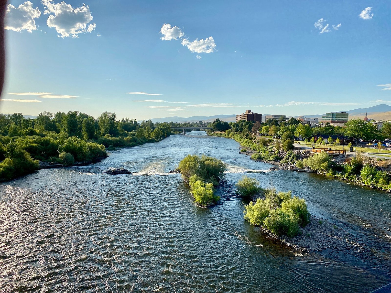
Connected paths, parks, and bridges place the river at the center of the city experience. Allow 1–3 hours. Walk in morning or evening and check river or smoke conditions. No reservation is needed. Public paths are free. Stay back from fast water and use lights after dusk. It is best suited to walkers, cyclists, and families; On a short Missoula visit, Clark Fork Riverfront Trail should not force a cross-destination transfer.
Mount Sentinel M Trail
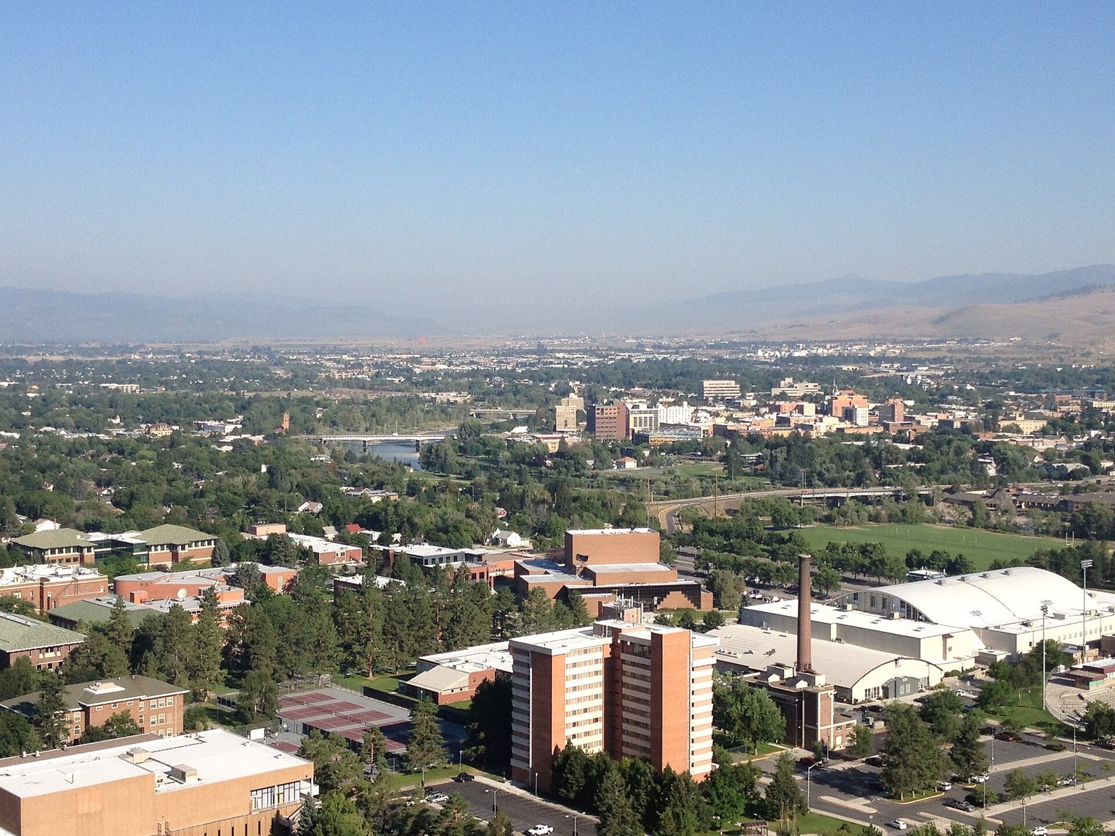
A short, steep climb gives immediate views over the university and valley. Allow 1.5–3 hours. Start early in heat and avoid storms, ice, or heavy smoke. No reservation is needed; closures override access. Trail access is free. Carry water and continue beyond the M only if fitness and conditions allow. It is best suited to active first-time visitors; time-limited visitors should add Mount Sentinel M Trail only when it fits the same area and current conditions.
Rattlesnake National Recreation Area
Forest and creek routes begin close to the city but feel progressively wilder. Allow 3–6 hours. Choose a trail for current fire, snow, wildlife, and daylight conditions. No ordinary day-hike reservation is needed. Most day access is free. Use bear-aware practices and share the route. It is best suited to hikers and mountain bikers; visitors with little time should retain Rattlesnake National Recreation Area only if it stays near another priority.
Downtown market and food circuit
Seasonal markets, local bakeries, breweries, and restaurants reveal Missoula’s independent character. Allow 2–4 hours. Check exact market dates and use a car-free evening. Priority restaurants may need weekend booking. Walking is free and purchases vary. Pair alcohol with a planned walk, bus, or ride home. It is best suited to food travelers and couples; on a short stay, keep Downtown market and food circuit only when access and geography suit that day.
National Bison Range
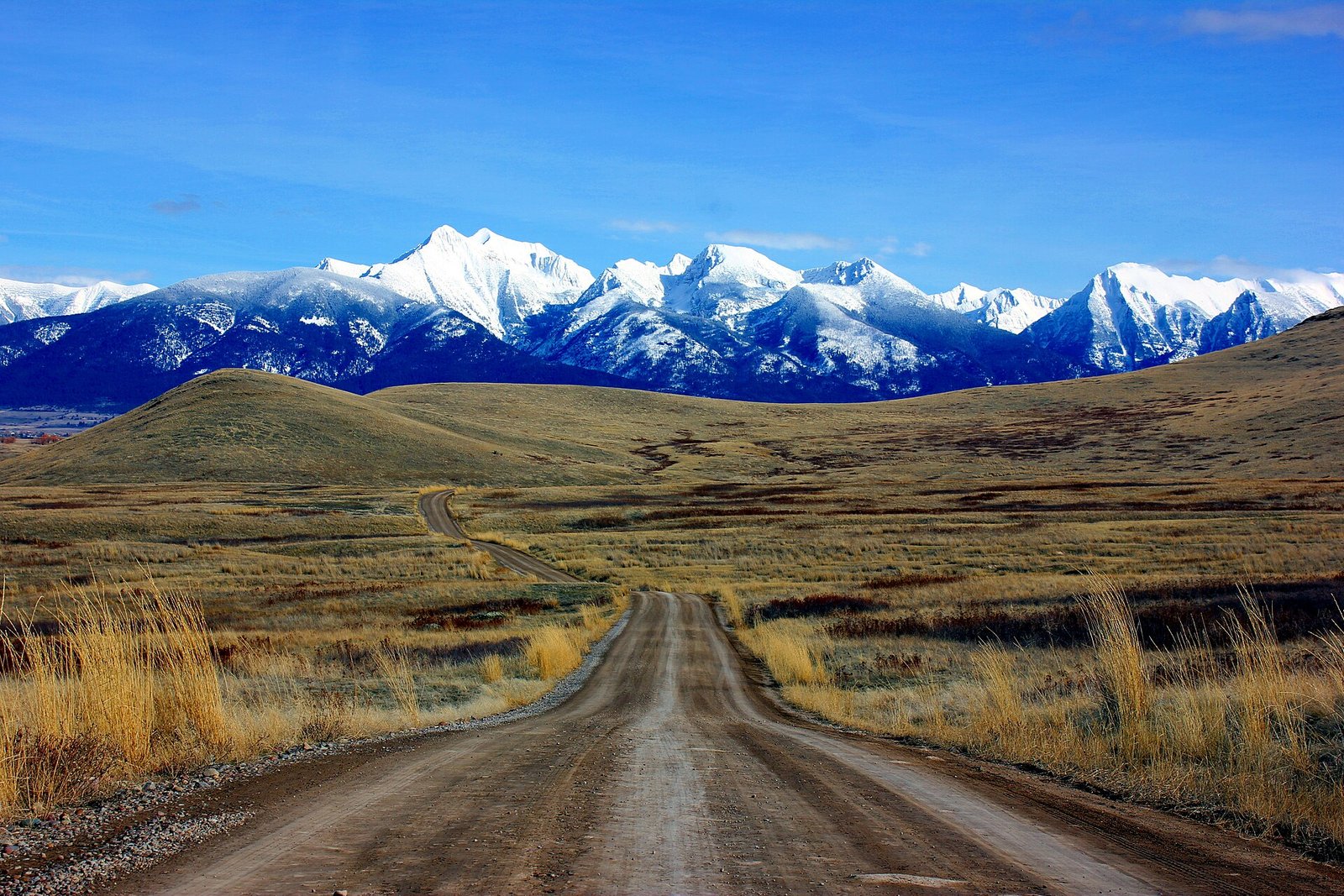
Grasslands and mountain views support a carefully paced wildlife drive north of Missoula. Allow Half to full day. Check official opening, road type, and vehicle rules before leaving. Entry and road procedures should be confirmed officially. A conservation fee may apply. Remain in the vehicle where required and never crowd wildlife. It is best suited to wildlife and road-trip travelers; On a short Missoula visit, National Bison Range should not force a cross-destination transfer.
A PRACTICAL ROUTE
Suggested itinerary
Downtown and river
Walk the riverfront, learn the bus routes, and use a downtown food evening without driving.
Mount Sentinel and university
Climb early, explore campus and the river afterward, and rest during the hottest or smokiest part of the day.
Rattlesnake outdoor day
Use current trail and fire information to choose a forest route, then return before a relaxed local dinner.
Wildlife or Bitterroot day
Drive the National Bison Range or a selected Bitterroot route, keeping the plan movable for smoke and road conditions.
REALISTIC BUDGET
Estimated travel costs
Missoula costs move most with June–September; September for cooler trails, booking timing, taxes, and the exact position of a room in Downtown. For Missoula, let the final US dollar (USD) total control the decision. For Missoula, its August 1, 2026 dollar conversion may differ at checkout.
TRAVEL WELL
Practical travel tips
- Check official wildfire, smoke, air-quality, and forest-closure information before every outdoor day.
- Carry bear spray where appropriate, know how to use it, and follow food-storage rules outside town.
- Use the fare-free Mountain Line for urban days and reserve a car only for regional routes.
- Do not enter fast river water without local knowledge, suitable equipment, and a flotation device.
- Summer rooms and rental cars tighten around university, festival, and holiday dates.
- Bring layers because mountain mornings and evenings can be much cooler than downtown afternoons.
- Leave no outdoor gear or luggage visible in a parked vehicle at a trailhead.
- Solo hikers should share the exact trail, start time, and turnaround plan rather than relying on mobile reception.
COMMON QUESTIONS
Missoula travel FAQ
How many days do you need in Missoula?
3–5 days is a practical first-visit range for Missoula. If 3–5 days is not available, keep one compact Missoula base and Clark Fork Riverfront Trail; additional days are most useful as weather and transport buffers.
Is Missoula expensive?
In Missoula, a realistic daily planning range is US$95–165 budget; US$210–390 mid-range, per person. Room choice and reserved transport matter more to the Missoula total than small savings on meals or local fares.
Do you need a car in Missoula?
No car is needed for downtown, the university, and urban paths. Rent one for the National Bison Range, Bitterroot Valley, or trailheads beyond transit.
What is the best month to visit Missoula?
September often brings cooler trails and fewer summer visitors, although smoke and early cold remain possible.
Is Missoula safe for solo female travelers?
Missoula is generally manageable for solo women. Use ordinary city awareness and apply full backcountry precautions on quiet trails, including sharing the route. A final review of official advice, local conditions, and the route from Missoula Montana Airport (MSO) belongs in the departure checklist.
What should you book in advance for Missoula?
Reserve summer lodging, rental cars, guided river or fishing trips, and any event ticket that anchors the weekend.
KEEP EXPLORING
Related The Wander Muse guides
PLAN WITH CURRENT INFORMATION
Official resources
For Missoula, opening hours, fares, permits, weather rules, and transport arrangements can change. Before leaving for Missoula, confirm the details that affect Clark Fork Riverfront Trail directly with the official links below.